
TL;DR
Infrastructure plans can help explain an area's future direction.
The Facts
A road plan belongs in the property file
Infrastructure plans can help explain an area's future direction. A buyer still needs to establish how a property can be reached today and what evidence supports claims about tomorrow.
An Excellence Bali explainer renewed discussion of congestion and road investment. The government announcement behind the projects is older; this is not a report that a new road opened today.
What Badung announced
In a report published on 29 July 2026, Badung Regency described the groundbreaking on 27 July for Jalan Lingkar Selatan, or JLS, and the Berawa–Umalas–Kedampang–Teuku Umar Barat shortcut programme.
The announcement describes an initial 2026–2027 phase including JLS and Simpang Siligita works totalling 10.89 kilometres, plus the 4.77-kilometre Semer–Teuku Umar Barat road. It states investment of more than Rp2.9 trillion across the announced projects.
The official page's date line reads “Rabu, 29 Juli 2026 15:34 WITA”; its event paragraph says “Senin (27/7)”. Its initial-phase paragraph specifies “10,89 kilometer”, “4,77 kilometer” and “lebih dari Rp2,9 triliun”. These short excerpts were checked directly against the linked government page on 20 October.
Those figures describe the announced programme. They do not prove that a specific parcel has direct access, that every segment is complete, or that travel times have already improved. The stated development period should not be converted into an unconditional opening-date guarantee.
Test the access that exists now
Our practical recommendation is to visit the property using the route that occupants, staff and deliveries would actually take. Record the date, time and route of each visit. A single quiet journey cannot establish typical peak-hour conditions.
Check the entrance, narrow turns and the last stretch between the main road and the property. Discuss the access documents with the professional reviewing the land and transaction. Physical use of a track and documented rights to use it are different questions.
For an operating business, consider deliveries, waste collection, emergency access and any parking arrangement. These are property-specific operating questions, not claims that all locations face the same restrictions.
Ask for evidence behind the sales pitch
If a seller says a new road will serve the site, ask for the official alignment or relevant project document and have the location checked. A marketing map with a coloured line should not be the only basis for a purchase decision.
Separate the proposed road connection from the permissions and documents needed for the property itself. Keep unresolved questions visible in the transaction file rather than treating infrastructure announcements as a substitute for due diligence.
Model a delay without promising a return
As a planning exercise, compare the intended operation using today's access with a scenario in which improvements arrive later than expected. Use the buyer's actual costs and operating assumptions. Do not build a guaranteed rent increase or resale premium into the model merely because a public project has been announced.
Bali Zero's recommendation is to treat infrastructure as one input into a location decision. Verify current access, the property's documents and the evidence for any future connection before committing.
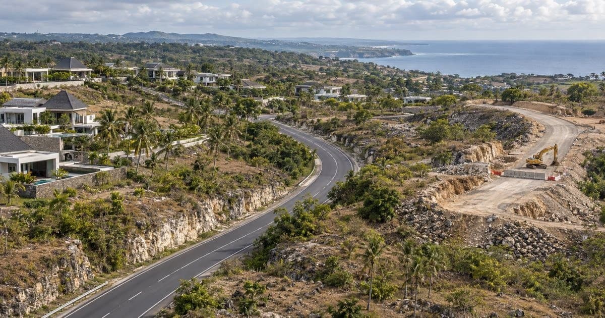
Source review: 20 October 2026. The cover is a conceptual landscape, not a project map or photograph of the JLS alignment.
Primary Source
Ask Zantara
AI-powered answers from our knowledge base

Exa: excellencebali.com
Questions about how this applies to your case?
Bali Zero handles visas, company setup, tax and property compliance in Indonesia. Ask us directly on WhatsApp.
Chat with Bali Zero on WhatsApp